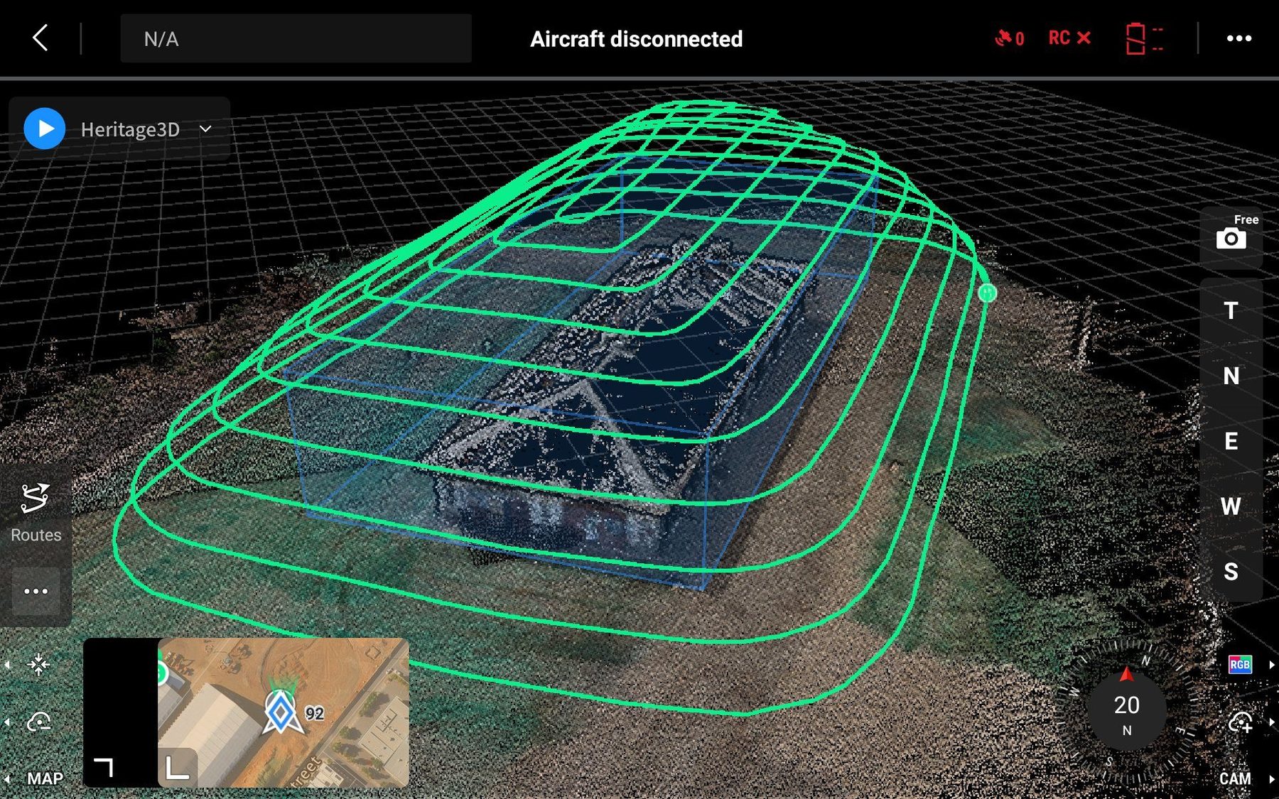
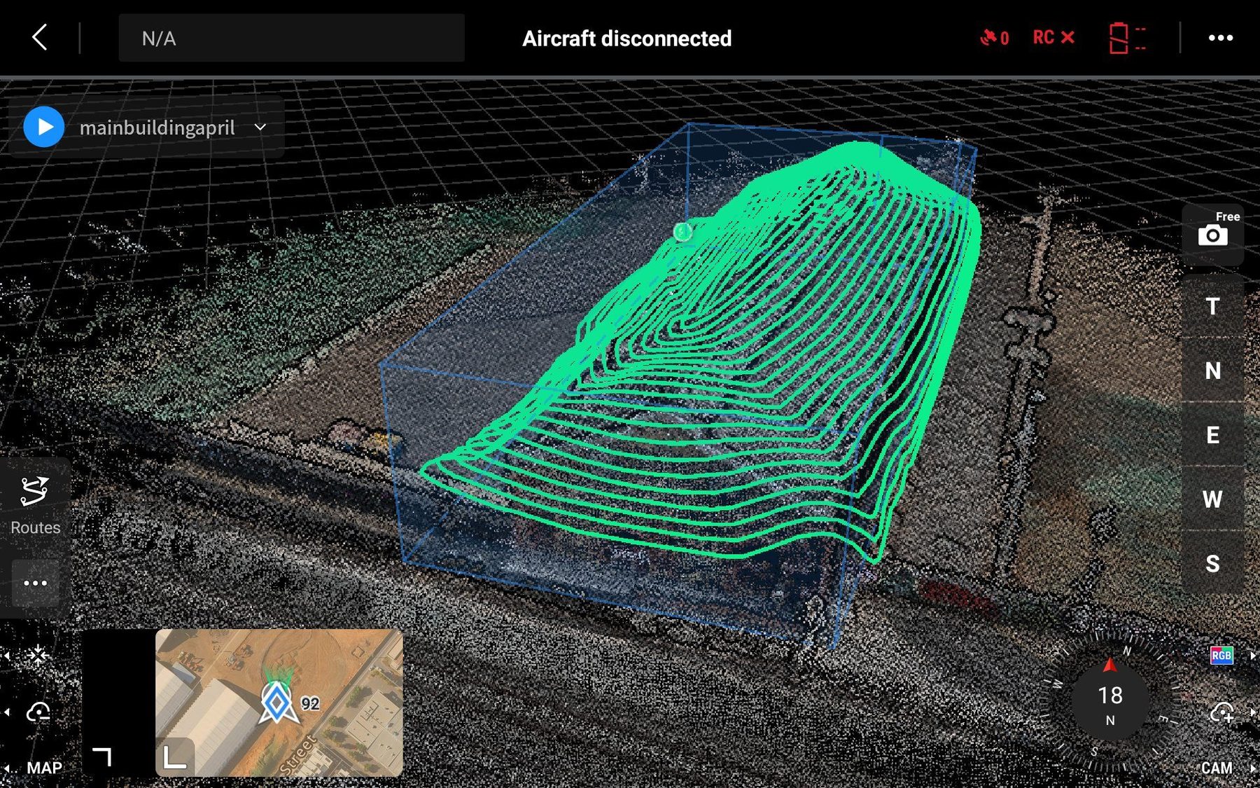
Volume Estimation & Cut-to-Fill
RTK-accurate drone volumetric surveys for stockpile volumes, cut-to-fill calculations and earthworks tracking.
- Stockpile volume calculation
- Cut-to-fill earthworks estimation
- Holding pond capacity assessment
- 3D surface model generation
- Progress tracking and reporting
- DXF/DWG deliverables for civil design
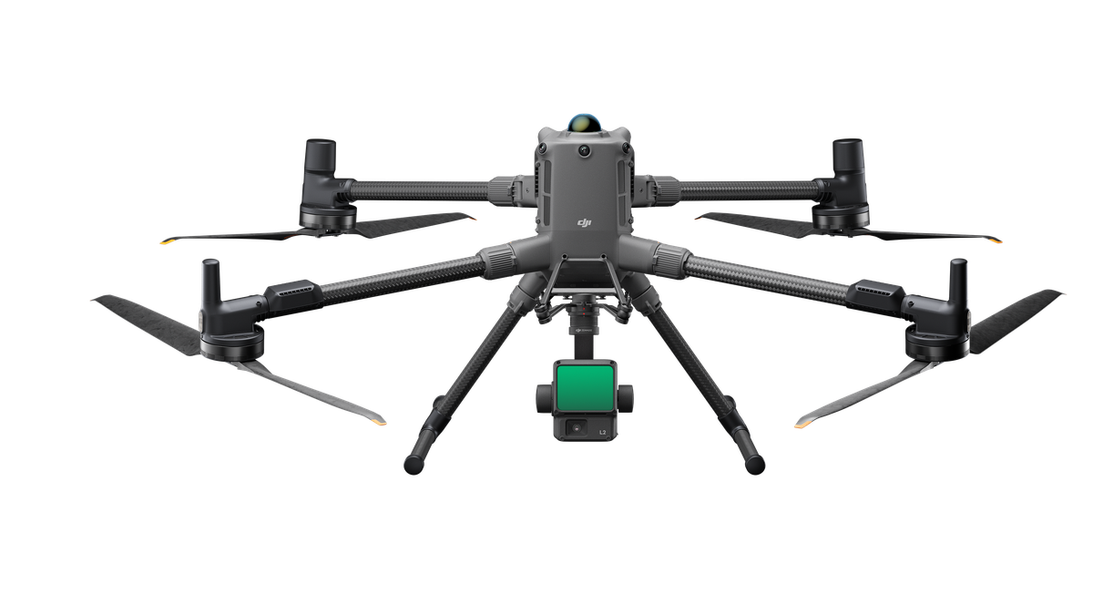
Asset & Infrastructure Inspection
Safer, faster drone-based asset inspections — telecom towers, powerlines, bridges and hard-to-access structures inspected with geo-tagged HD imagery.
- Telecommunications tower inspection
- Powerline and substation inspection
- Bridge and structure inspection
- Geo-tagged HD imagery delivery
- Defect mapping and reporting
- Avoids unsafe physical access
Solar Panel Thermal Scanning
Protect your solar investment with drone thermal scanning to detect faults invisible to the naked eye.
- AINDT Category 1 Infrared Thermography
- Overheating cell detection
- Loose connection identification
- Fire risk assessment
- Quantitative thermal reporting
- Panel array mapping
Vegetation Health Scans
Multispectral drone surveys for crop and vegetation health — detect plant stress weeks before visible signs appear.
- DJI Mavic 3M Multispectral imaging
- NDVI and crop stress mapping
- Treatment heatmaps for agronomists
- Weed and disease detection
- Riparian vegetation assessment
- Environmental monitoring programs
Construction Snapshots
Consistent, repeatable aerial construction progress photography with precise positioning for accurate before/after comparison.
- Repeatable aerial positioning
- Consistent angle and altitude matching
- Progress documentation and reporting
- Orthomosaic generation
- Client portal delivery
- Weekly or milestone-based programs
Native Animal Surveys
Non-invasive drone thermal surveys for native animal observation, endangered species monitoring and pre-clearance surveys.
- Pre-clearance native animal surveys
- Endangered species monitoring
- Pest management population counts
- Thermal heat signature detection
- Night-time survey capability
- Regulatory-compliant reporting