Transforming complex sites into sustainable outcomes — combining traditionally siloed disciplines to improve feasibility, reduce project risk, and deliver results.
We bring together capabilities that most firms treat as separate engagements — delivering better outcomes through a single point of accountability.
Contaminated land assessment, remediation strategy and waste management for complex brownfield and development sites.
Practical ground investigation, foundation design and slope stability analysis for complex and disturbed ground conditions.
RTK-accurate aerial surveys, thermal imaging and multispectral data capture for civil, environmental and agricultural projects.
Integrated geological, geotechnical and environmental modelling — from field capture straight through to design-ready deliverables.
Environmental, geotechnical and drone data are typically gathered by separate firms — creating gaps between services, avoidable rework loops and cost overruns. Trilogy combines all three under one team.
One team means fewer handoffs, no translation errors between disciplines, and real-time interpretation during field programs.
One contract, one point of contact. No disputes between competing consultants over findings or scope.
Investigation, analysis and 3D modelling run in parallel — not in sequence. Design-ready outputs on completion, not weeks later.
Integrated investigations reduce total mobilisation, lab costs and reporting time — often 20–30% compared to siloed engagements.
Contamination assessment, remediation & regulatory compliance
Ground characterisation, foundation & slope stability design
RTK aerial data capture, thermal & multispectral imaging
Geological, geotechnical & environmental models direct to design
All four disciplines combined — one team, one deliverable, no rework.
 Environmental · Geotech · 3D Modelling
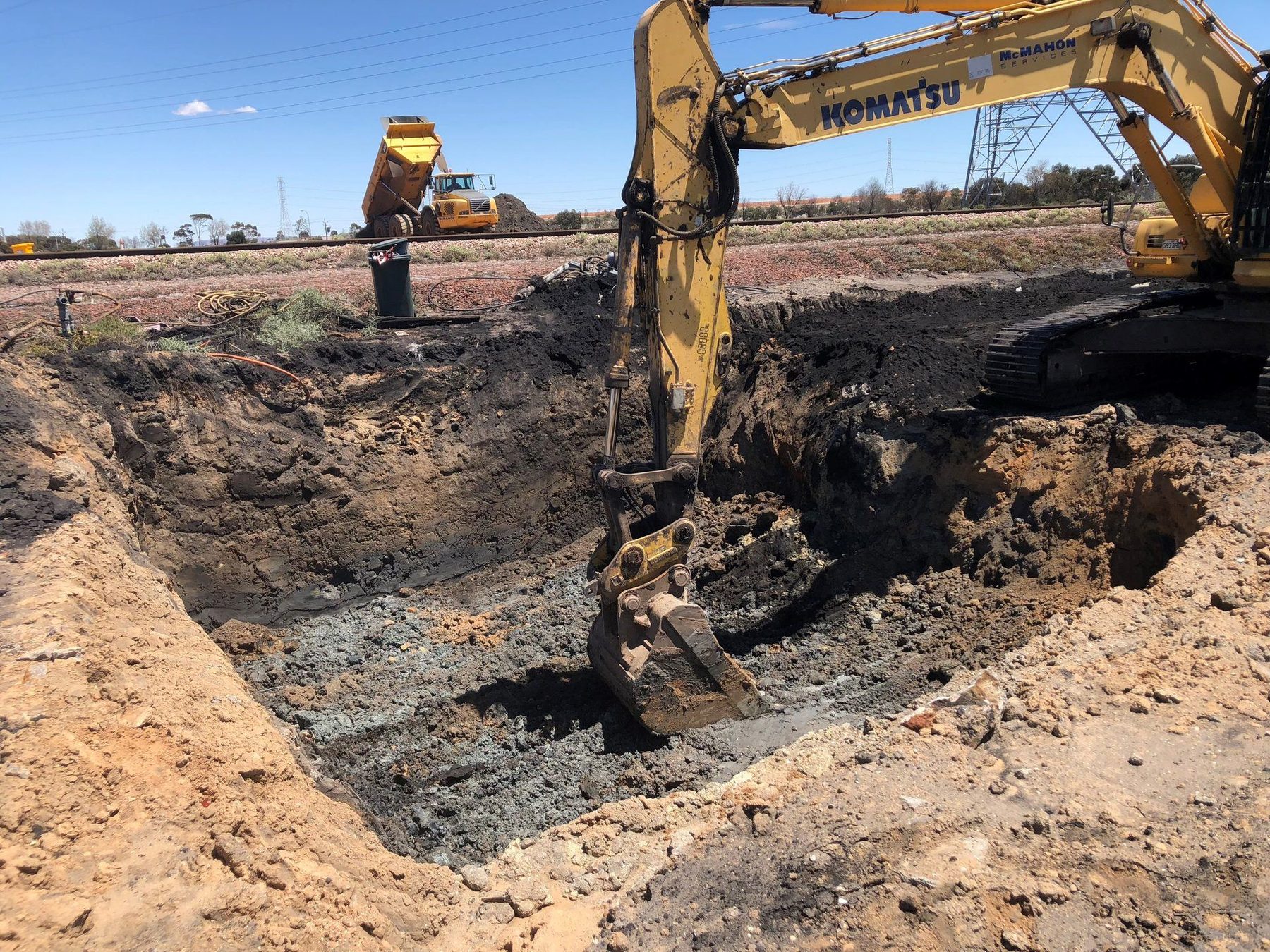
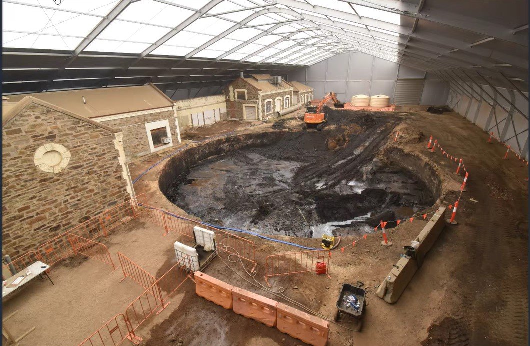
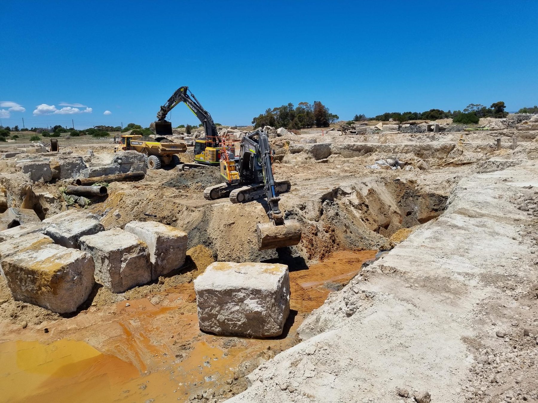
Large-scale metropolitan contaminated land remediation — integrating environmental assessment, 3D site modelling, earthworks volume forecasting and community liaison across one of South Australia's most complex brownfield redevelopments.
 Environmental · Remediation
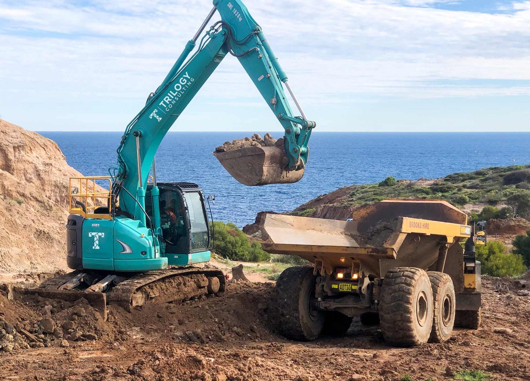
Remediation strategy and implementation at one of South Australia's largest former industrial sites — involving PFAS, hydrocarbons, groundwater treatment and large-scale earthworks management in a sensitive coastal environment.
Early adopters of digital field capture, advanced investigation tools and integrated 3D workflows — data enters once and flows straight through to design-level deliverables.
Paperless logging on-site. Data entered once, stored immediately — no transcription errors.
Panda Probe dynamic penetration testing — high-resolution continuous soil profiles, real-time digital output.
PLAXIS 3D, Slope/W, Leapfrog — subsurface model built in real time as data arrives from the field.
Outputs go direct to Plaxis, Slope/W, GIS and structural design — investigation and design run in parallel.
Settlement, staged construction & slope stability analysis
3D subsurface models from borehole logs, CPT & geophysics
RTK photogrammetry feeding directly into 3D models & DWG deliverables
Variable-energy DCP delivering high-resolution continuous soil profiles


South Australian-owned and operated — we're ready to help with your next environmental, geotechnical or drone-based project.