Early adopters of digital field capture, advanced investigation tools and integrated 3D workflows — Trilogy's technology stack removes the rework loops that slow down every project we've seen from the outside.
In a typical multi-consultant project, the same data gets re-entered three or four times — from field notes to spreadsheet, spreadsheet to report, report to model. Each transfer introduces errors, takes time, and delays decisions.
Investigation and modelling happen in sequence. The site investigation finishes. Weeks later, the model starts. By that time, the window to adapt the investigation strategy has closed.
We built our workflow around a different principle: data enters once and flows through to design. Investigation and modelling run in parallel. The model is ready when the field program ends.
Data captured digitally on-site — no paper, no re-entry, no transcription errors
Ground model updated in real time as field data arrives — investigation adapts immediately
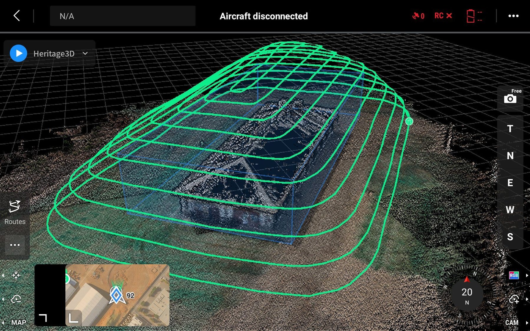
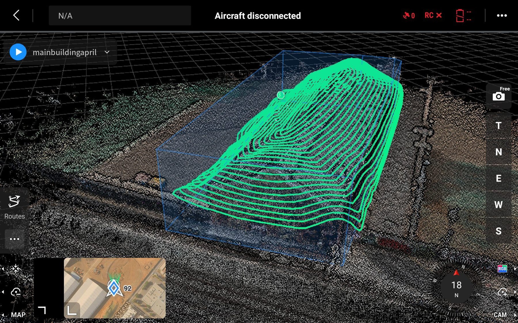
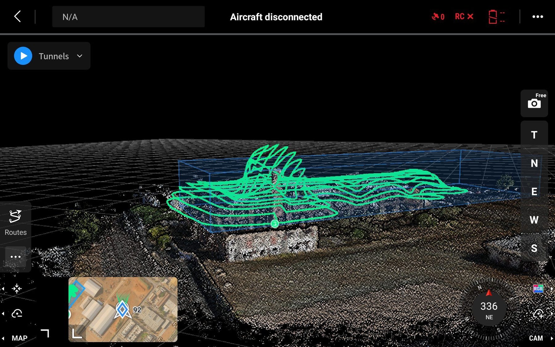
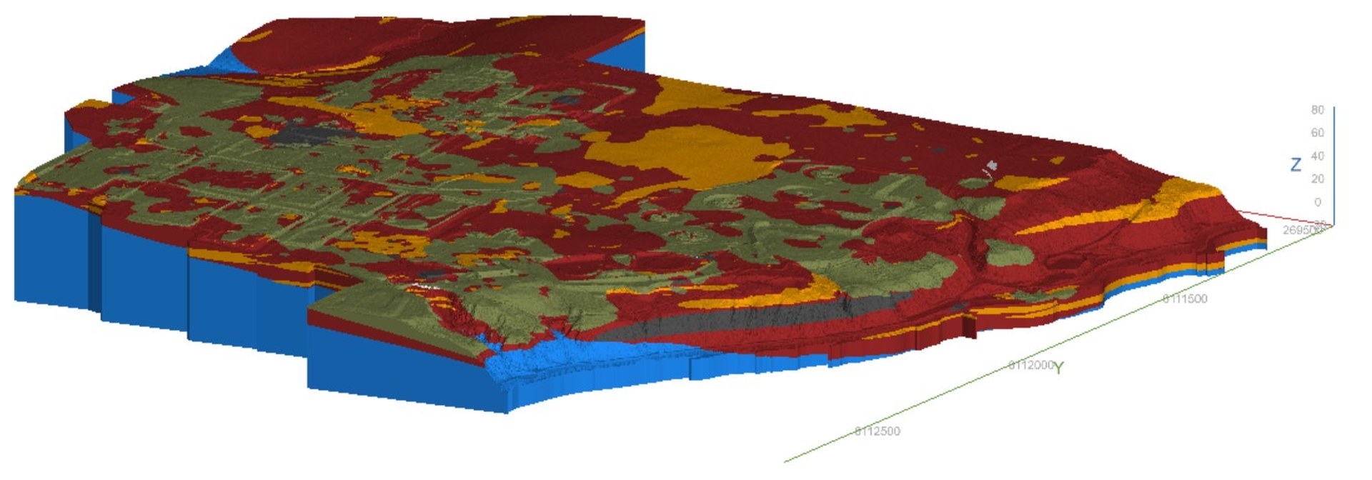
Environmental, geotechnical and drone datasets integrated into a single 3D model
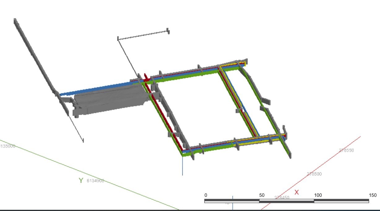
Outputs delivered directly to PLAXIS, Slope/W, GIS and structural design — no separate modelling phase
Finite element modelling for settlement analysis, staged construction and ground behaviour assessment. Directly fed from digital field data.
Limit equilibrium slope stability analysis for natural and engineered slopes. Integrated with ground model outputs for rapid scenario testing.
Advanced 3D geological and subsurface modelling. Subsurface data from boreholes, CPT and geophysics built into rapid 3D models.
Open-source GIS for spatial data integration, analysis and visualisation. Integrates environmental, geotechnical and drone datasets into one view.
Engineering figures, site plans and design deliverables. Outputs flow directly from our 3D models to AutoCAD for design-ready DWG files.
Photogrammetric processing of drone survey data into point clouds, orthomosaics and 3D surface models for volumetric and civil applications.
Variable-energy DCP delivering high-resolution continuous soil profiles with real-time digital output. No data re-entry — straight from probe to model.
AINDT Category 1 certified thermal imaging for solar panel inspection, infrastructure assessment and native animal surveys.
Five-band multispectral sensor for vegetation health, NDVI mapping and precision agricultural analysis across SA and QLD.
RTK GNSS receiver delivering sub-centimetre horizontal and vertical accuracy. Used to establish Ground Control Points for drone surveys, topographic capture and georeferenced site investigations. GDA2020 compliant — planning and regulatory authority ready.
Floor-level and confined space 3D capture where drones cannot fly. Used for indoor dilapidation surveys, basement and underground structure documentation, heritage interior recording and as-built verification. Point cloud outputs integrated directly into our 3D modelling environment.
Our DJI Terra and Pilot 2 workflows allow complex 3D scan missions to be planned, flown and processed into survey-grade point clouds and surface models — ready for integration with QGIS, Leapfrog and AutoCAD deliverables.
These are real outputs from Trilogy projects — built directly from field data, drone captures and investigation programs. No redrawing, no re-entry, no rework.
Real-time modelling means your project team has design-quality information while the field program is still running — not weeks after it finishes.
When the ground model updates in the field, the investigation strategy can respond immediately. No need to return for additional investigation phases.
Data entered once, used everywhere. No paper-to-spreadsheet re-entry, no interpretation errors between teams, no version control issues.
Get in touch to discuss how our integrated workflow can improve the delivery of your next project.