Geological & Ground Modelling
3D subsurface models built from borehole logs, CPT and geophysical data — updated in real time as field data arrives.
- 3D geological model development
- Leapfrog subsurface modelling
- Stratigraphic interpretation
- Real-time model updates during investigation
- Ground model integration with PLAXIS
- Data management and reporting
Environmental Conceptual Site Models
3D contamination models integrating environmental investigation data with spatial analysis for remediation planning and regulatory reporting.
- 3D contamination extent modelling
- Source-pathway-receptor analysis
- Groundwater flow and contaminant plume modelling
- Remediation volume estimation
- Regulatory-compliant CSM development
- PFAS and hydrocarbon plume mapping
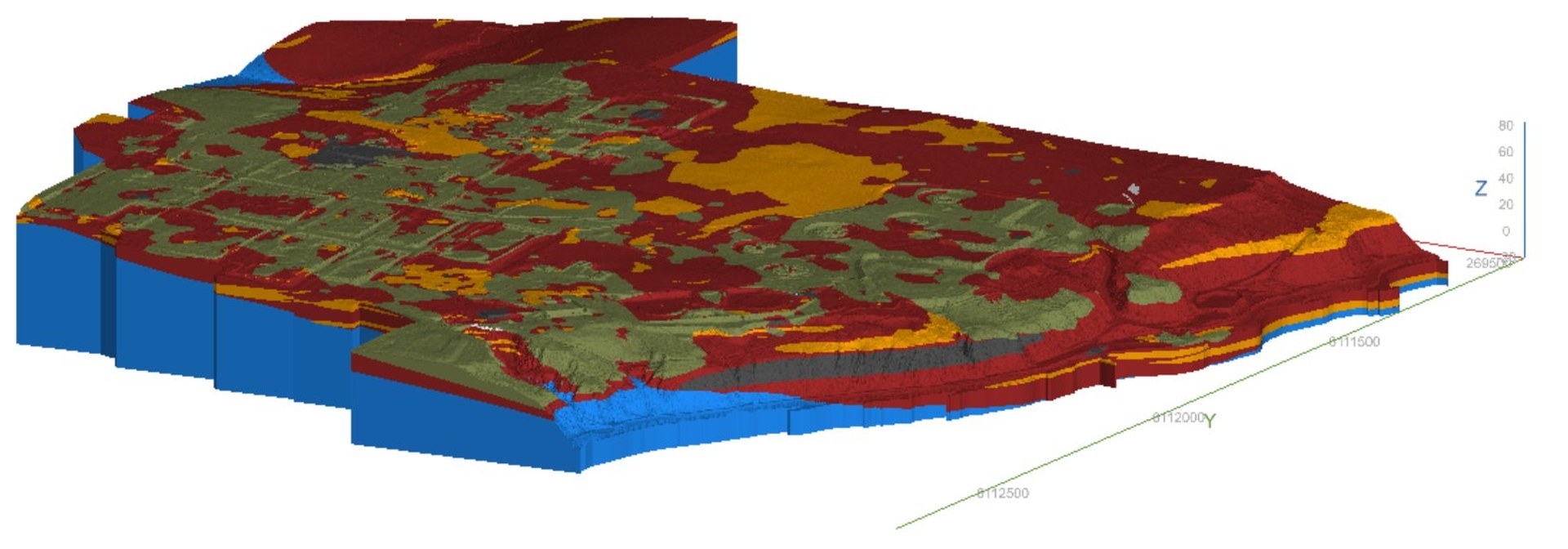
Volume & Earthworks Analysis
Precise volume calculations combining drone survey data with geotechnical and environmental datasets for earthworks planning and tracking.
- Stockpile and excavation volume calculation
- Cut-to-fill optimisation
- Material classification mapping
- Earthworks tracking and forecasting
- Drone-to-model integration
- Civil design-ready DWG deliverables
Numerical Modelling
Advanced finite element and limit equilibrium modelling for settlement prediction, slope stability and ground behaviour assessment.
- PLAXIS 2D/3D settlement analysis
- Slope/W limit equilibrium modelling
- Staged construction simulation
- Foundation behaviour prediction
- Slope stability and remediation design
- Ground improvement assessment
GIS & Spatial Integration
QGIS-based spatial analysis integrating survey, environmental and geotechnical data into clear, decision-supporting outputs.
- QGIS project setup and management
- Spatial data integration and analysis
- Site plan and engineering figure production
- AutoCAD deliverable generation
- Multi-dataset overlay and interpretation
- Client GIS portal delivery
Civil Feasibility Modelling
Using 3D modelling to answer the feasibility questions that drive project decisions — before costly design work begins.
- "Where should I put my facility?" volume analysis
- Material generation forecasting
- Infrastructure footprint optimisation
- Contamination constraint mapping
- Ground risk integration into feasibility
- Concept design support